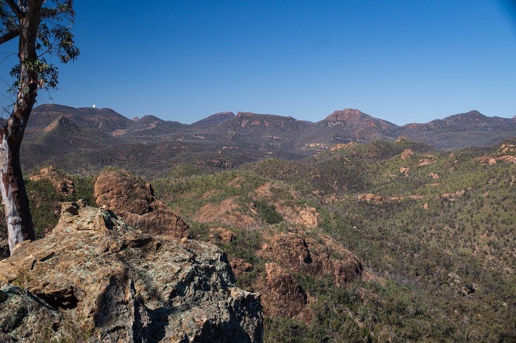
Volcanic spires rise out of the plains west of Coonabarabran. Walk the Grand High Tops by day, then look up at some of the darkest night skies in New South Wales.
Volcano country above the plains
Warrumbungle National Park sits about half an hour's drive west of Coonabarabran, the nearest town for fuel and supplies. From the road in, the range appears suddenly: a ragged line of domes, spires and cliffs standing high above the farmland around it. The name is often translated as crooked mountains, and once you see the skyline the reason is clear.
The range is what remains of a large volcano that was active many millions of years ago. Over a very long time the softer outer layers wore away, leaving the hard plugs of lava that cooled inside its vents and the narrow walls of rock that filled its cracks. Belougery Spire, Crater Bluff and Bluff Mountain are the best known. This is the country of the Gamilaraay, Wiradjuri and Weilwan peoples, and the park sits where their lands meet.
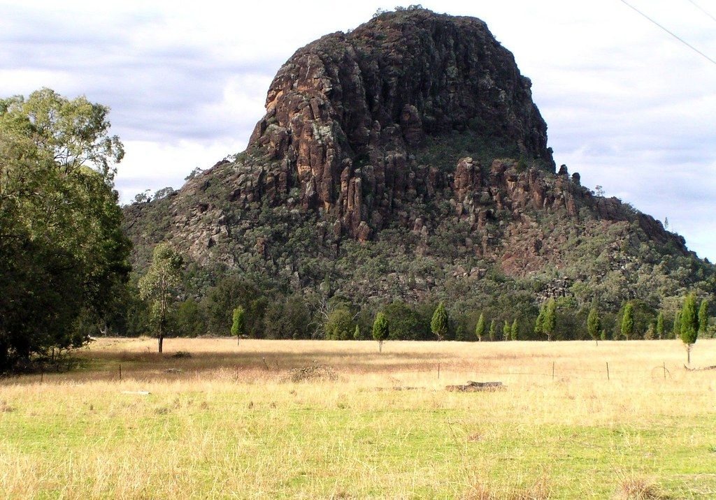
The Breadknife and the Grand High Tops
The best-known walk in the park is the Grand High Tops. It starts from the Pincham car park, follows a creek through open forest and then climbs steadily to a high saddle, passing beneath the Breadknife: a thin blade of rock that formed when molten rock forced its way into a crack and hardened. Climbing on the Breadknife itself is not allowed. From the lookouts at the top, the spires stand all around you and the plains stretch away on every side.
The full loop is roughly fourteen kilometres and takes most of a day, with a long, steady climb. Start early, carry plenty of water, and turn back if the heat builds or the weather turns. If you want something shorter, the park has easy walks to lookouts such as White Gum, which gives a wide view of the range for very little effort. A large bushfire burned much of the park in January 2013, and you can still read its marks in the forest, alongside a great deal of regrowth.
Another noteMungo and the Walls of ChinaAustralia's first Dark Sky Park
In 2016 Warrumbungle National Park became Australia's first accredited Dark Sky Park. The reasons are partly natural and partly careful choice: the air out here is often dry and clear, the nearest large city is hundreds of kilometres away, and nearby towns and the park work to keep outdoor lighting low and shielded. On the edge of the park, Siding Spring Observatory holds some of the largest optical telescopes in the country, and its white domes are visible on the ridge by day.
You need no equipment to enjoy the sky here. Step away from the campground lights, give your eyes twenty minutes or so to adjust, and use a red torch so you keep your night vision. The band of the Milky Way runs overhead in winter, and the two Magellanic Clouds, small companion galaxies of our own, are visible as faint smudges in the southern sky. Nights around the new moon are darkest, so check the moon phase when you plan. Winter nights often drop below freezing, so bring more warm clothing than you expect to need.
Kangaroos at dusk and staying in the park
As the light fades, the grassy flats around the campgrounds fill with eastern grey kangaroos, wallaroos and emus coming out to graze. Watch from a distance, keep food packed away, and never feed them. The same animals cross the park roads after dark, which is the main reason to drive slowly at dusk and dawn. The notes on bush safety and wildlife cover driving at dusk in more detail.
The park has campgrounds and a visitor centre, and park entry and camping fees apply. Fees, bookings and track conditions change, so check before you go, particularly after rain or fire. Coonabarabran is the place to fill the tank and stock up, and it has the last reliable shops, fuel and medical services before the park. Phone coverage inside the park is patchy, so download maps and walk notes before you leave town. If you are coming from the coast, the drive makes a natural next step after the Blue Mountains, and the road west from here opens onto the long plains of the far west.